
A severe thunderstorm can already mean hail big enough to damage a car. The Bureau of Meteorology calls a thunderstorm severe once it produces any one of four things, hail of 2 cm or more among them, and the same page lists hail over 20 mm as the size that damages vehicles. For hail, the warning threshold and the car-damage threshold line up.
The Hunter has seen what that looks like. On 31 October 2006 a storm at Hexham dropped 4 cm hail and damaged up to 10,000 vehicles, according to the AIDR Knowledge Hub. Measured against today's definitions, 4 cm hail is twice the 2 cm severe mark and still short of the 5 cm "very dangerous" mark. That comparison is ours, using BOM's thresholds below. A warning that says "severe" and not "very dangerous" is not one to shrug off.
So when a warning covers your area: move cars under cover, secure loose items, unplug electronics. Then stay inside and shelter well clear of windows, doors and skylights. The rest of this page explains what the warning's words, numbers and map are telling you.
What makes a storm "severe" or "very dangerous"?
A storm needs only one of these
| Severe | Very dangerous | |
|---|---|---|
| Hail | 2 cm or more | Giant hail 5 cm or more |
| Wind gusts | 90 km/h or more | Destructive gusts 125 km/h or more |
| Tornadoes | Tornadoes | Tornadoes |
| Rain | Heavy rainfall that may lead to flash flooding | Intense rainfall that may lead to dangerous, life-threatening flash flooding |
| Source: Bureau of Meteorology, Thunderstorms | Source: Bureau of Meteorology, warning services |
National definitions, not a local forecast.
The Bureau of Meteorology classes a thunderstorm as severe if it produces any one of four things: hail of 2 cm or more in diameter, wind gusts of 90 km/h or more, tornadoes, or heavy rainfall that may lead to flash flooding.
"Very dangerous" is the next step up. BOM's warning services page defines it as any of: giant hail of 5 cm or more, destructive gusts of 125 km/h or more, tornadoes, or intense rainfall that may lead to dangerous, life-threatening flash flooding.
Notice the "any". A storm with no hail at all can be severe on wind alone.
The gap between the two classes is bigger than it looks. Going from 2 cm to 5 cm is two and a half times the hailstone's width, and going from 90 to 125 km/h is a gust about 39% faster. That is our arithmetic on BOM's figures. These are national definitions, not a forecast for the Hunter.
A warning is also a filtered signal. BOM issues a Severe Thunderstorm Warning when a severe storm is occurring, likely or reported, or when existing storms are likely to become severe. BOM says most thunderstorms don't reach severe intensity, and in Australia it warns only for severe or very dangerous storms. An ordinary afternoon storm with thunder and a downpour won't get one.
How big is 2 cm hail, and what does each size damage?
Source: flags, bands, the 25 mm mark and the range, Bureau of Meteorology, Thunderstorms and warning services; Hexham, AIDR Knowledge Hub
Hail varies a lot. The Bureau of Meteorology says hailstones range from 5 mm to over 100 mm across, and most are smaller than 25 mm. Its damage guide sorts them like this: under 20 mm damages crops, over 20 mm damages vehicles, and over 50 mm brings widespread damage.
Read that next to the warning classes and a pattern shows. Our reading: the severe line sits where car damage starts, and the very dangerous line sits where widespread damage starts. The Hexham hail of 2006, at 4 cm, fell between the two.
What does the warning map show, and what can't it tell you?
Source: Bureau of Meteorology, Severe weather and coastal hazard warning services
BOM issues two kinds of severe thunderstorm warning, and they look different on the map.
- Detailed warning. This covers capital cities and their surrounds when individual storms are within capital-city radar range. Each storm is drawn as a red ellipse, with arrows showing up to 60 minutes of movement and an orange-hatched Immediate Threat Area.
- Regional warning. This covers broad areas where severe storms are occurring or may occur in the next 3 hours, shaded yellow.
Both come from BOM's warning services page. Which one you see depends on whether the storm sits near a capital city and within its radar range.
A warning does not mean your street will be hit, but that is no reason to wait: ABC Emergency notes a storm path shifting by as little as 200 metres can mean heavy rain or very little, and advises acting when storms are forecast anyway. The same ABC page says BOM can't pinpoint the exact location of individual storms ahead of time, because they can develop quickly and move fast.
Timing matters too. A typical thunderstorm lasts 30 to 60 minutes, but the Bureau of Meteorology says severe ones can last many hours and travel long distances. The storm that missed you at 3 pm may not be finished with the district.
Is it a thunderstorm warning, a severe weather warning or a tornado warning?
Source: Bureau of Meteorology, Severe weather and coastal hazard warning services
These are easy to mix up. ABC Emergency explains that Severe Thunderstorm Warnings cover storm-related hazards. A separate Severe Weather Warning covers damaging wind (the Bureau of Meteorology sets it at gusts of 90 km/h or more, or sustained winds of 63 km/h or more) and heavy rain that are not tied to thunderstorms.
There is no separate tornado product to watch for. The Bureau of Meteorology says tornado warnings are issued as part of a severe thunderstorm warning, and an average of 30 to 80 tornadoes are observed in Australia each year.
A warning for damaging winds alone is not the lesser event: ABC Emergency says such winds can bring down trees and cause prolonged power and phone outages.
Rain has its own scale here. In NSW, ABC Emergency says rain over 70 mm in up to an hour, or over 150 mm in up to three hours, is considered "intense". That is the kind of rain behind the very dangerous class's flash-flooding wording.
What if no warning arrives?
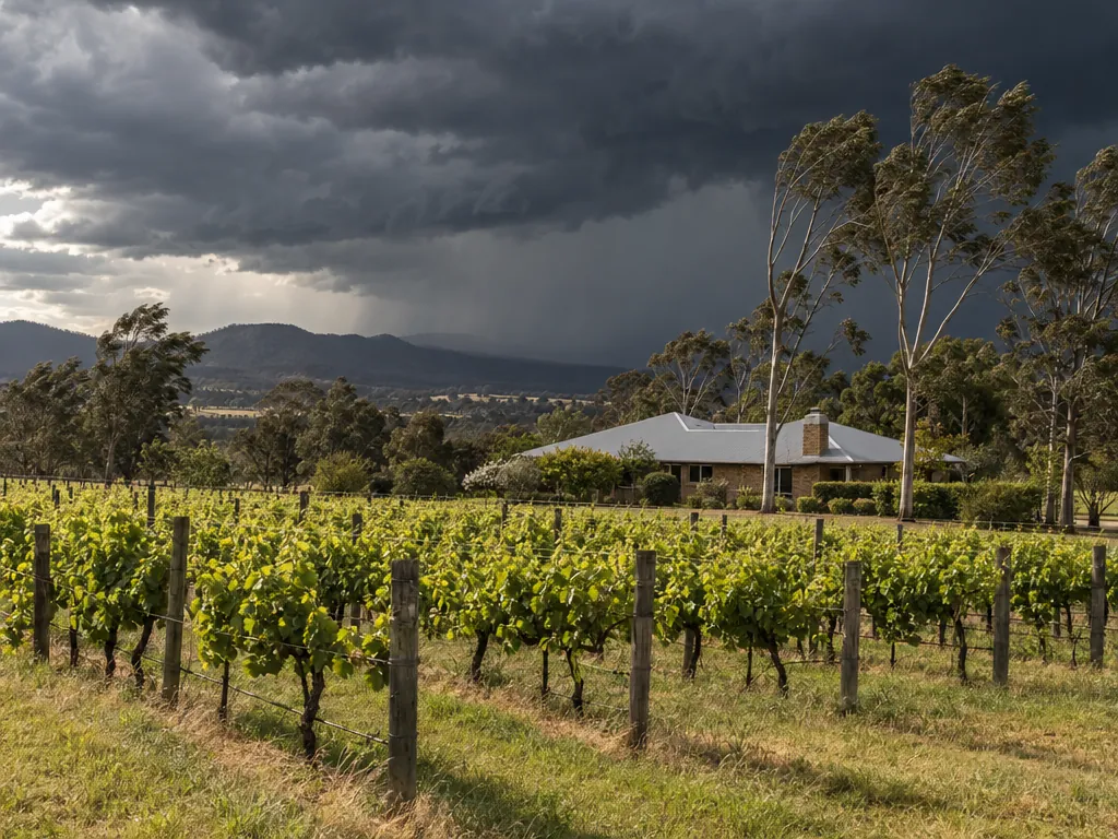
You may not always get an official warning, NSW SES says. Watch the sky instead: heavy clouds gathering, darkening skies, increasing winds, thunder, lightning and heavy rain.
When warnings do come through emergency services, they use the Australian Warning System levels: Advice, Watch and Act, and Emergency Warning. SES recommends the Hazards Near Me app with watch zones set, so set one for home and one for anywhere else you spend the afternoon.
For the Bureau's own warnings, BOM recommends its BOM Weather app and runs audio warnings on 1300 659 210.
Storms don't keep to a calendar either. BOM says most severe thunderstorms happen September to March but can occur at any time of year. NSW SES's Storm Season runs September to April, and SES adds that major storms can happen at any time.
What to do at home when the warning lands
When a warning covers your area
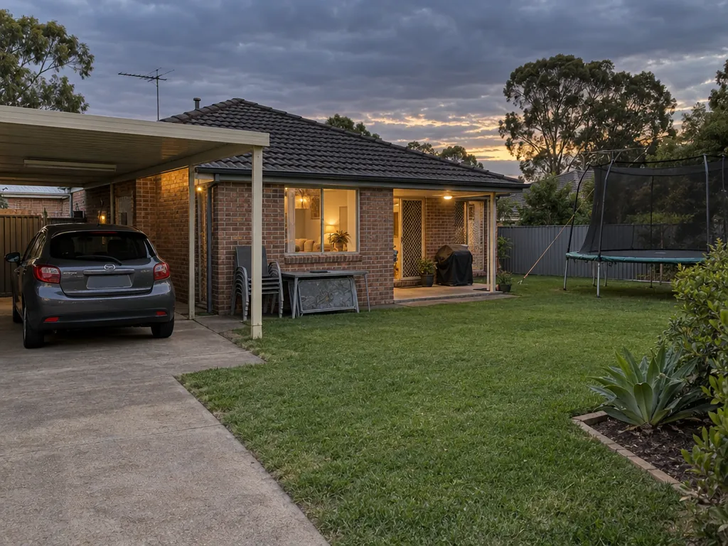
Keep this list short, because it is meant for the minutes after the alert. BOM's advice:
- Check the yard or balcony and secure or store loose items such as garden furniture and trampolines.
- Park vehicles under solid cover, or tie down tarpaulins or blankets over them.
- Secure external doors and windows, and draw the curtains.
- Charge your phone and keep your emergency kit handy.
Then unplug. ABC Emergency singles out the modem, because a lightning strike can cause a surge that destroys the router.
A note from us at Cessnock Shutters on that "draw curtains" line. If your windows have plantation shutters, closing the blades is the same habit. Treat it as one more step on the list, not as protection. The advice once the storm arrives is still to keep well clear of the glass. Our guide to Storm Season and Plantation Shutters covers the shutter side of the wet months.
Where should you be in the house while the storm is overhead?
- Keep clear: beside windows and external doors, and under a skylight
- Away from glass: well clear of windows, doors and skylights
- Concrete or tiled floors: don't stand on them bare-footed
- Outside brick walls: don't touch brick or concrete
- Don't use a landline
Caught outdoors: get into a hard-top vehicle or solid building, never under a tree. Don't drive through floodwater.
Inside, and away from glass. NSW SES says the safest place during a storm is inside, away from windows.
BOM adds the details:
- Shelter well clear of windows, doors and skylights.
- Don't use a landline phone.
- Avoid touching brick or concrete, and don't stand barefoot on concrete or tiled floors.
- Don't drive through floodwater.
- If you're caught outdoors, there is no safe place outside. Get into a hard-top vehicle or a solid building, and never shelter under a tree.
What to do after the storm passes
- 1Call 000 if life-threatening
- 2SES storm help: 132 500
- 3Contact your insurer as soon as possible
Always assume fallen powerlines are live.
Source: NSW SES
Look before you walk out to inspect. NSW SES says to always assume fallen powerlines are live and to stay at least 8 metres away, about 2 car lengths.
If your property is damaged, SES advises contacting your insurer as soon as possible to lodge a claim. SES may not reach you immediately after a big storm. Call SES on 132 500 for storm help, or 000 if anyone's life is in danger.
The storm numbers in one place
The storm numbers
- Severe thunderstorm: any of hail 2 cm or more, gusts 90 km/h or more, tornadoes, or heavy rain that may lead to flash floodingBOM
- Very dangerous: any of hail 5 cm or more, gusts 125 km/h or more, tornadoes, or intense rain that may lead to life-threatening flash floodingBOM
- Severe Weather Warning (not tied to thunderstorms): gusts 90 km/h or more, or sustained winds 63 km/h or moreBOM warning services
- NSW "intense" rain: over 70 mm in up to 1 hour, or over 150 mm in up to 3 hours, per ABC EmergencyABC Emergency
- Regional warning look-ahead: 3 hoursBOM
- Typical thunderstorm life: about 30 minutes to 1 hour; severe storms can last many hoursBOM
- Fallen powerlines: stay at least 8 metres (about 2 car lengths) awayNSW SES
- Help: SES 132 500, 000 if life-threateningNSW SES
Every figure on this page sits on one card, with its source: the severe and very dangerous thresholds, the Severe Weather Warning wind speeds, NSW's intense-rain mark, the regional warning's 3-hour look-ahead, and the 8 metres to keep from fallen powerlines. Each threshold keeps its "any of" wording, because a storm only needs one of them to qualify. Screenshot it for the fridge or the phone.
Planning the rooms you close up when a warning lands, with Cessnock Shutters
The warning advice comes down to distance from the glass, and no window covering changes that. What a window covering does change is the everyday: how a room takes the afternoon sun, how private it feels from the street, and how quickly you can close it up when the BOM Weather app goes off.
If you're weighing up shutters for those rooms, try our Shutter Aspect Planner to see how each window faces. Then book a measure and quote with Cessnock Shutters through our contact page, and we'll talk through which windows and doors you want covered.